Ruissalo rises from the sea
The basic structure of Ruissalo was formed during the ice age and the following lake and sea phases of the Baltic Sea, during which the deep joint valleys, steep ridges and moraine formations and flat clay grounds were formed.
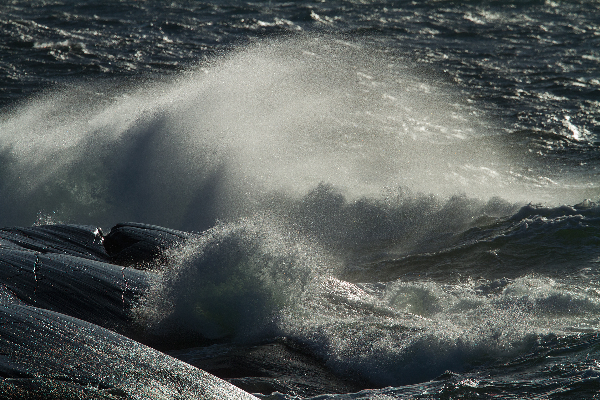
The highest peaks of Ruissalo rose from the sea approximately 5,400 years ago. These rocky hill areas used to be skerries swept over by seawater and partly treeless. Washed up till, in turn, was accumulated on the slopes of these hills as coastal moraine deposits. The underwater sandbanks at the southernmost points of Saaronniemi are also formed by waves and ocean currents.
The ice sheet also brought large boulders to Ruissalo. The most famous of Ruissalo’s large glacial erratics is Kukkarokivi, located in the sea to the north of the westernmost point of Ruissalo and rising 17 metres above the water line.
Post-glacial rebound is still changing the landscape of Ruissalo. Ruissalo rises from the sea by 4–5 mm per year, or half a metre per century.